What is this?
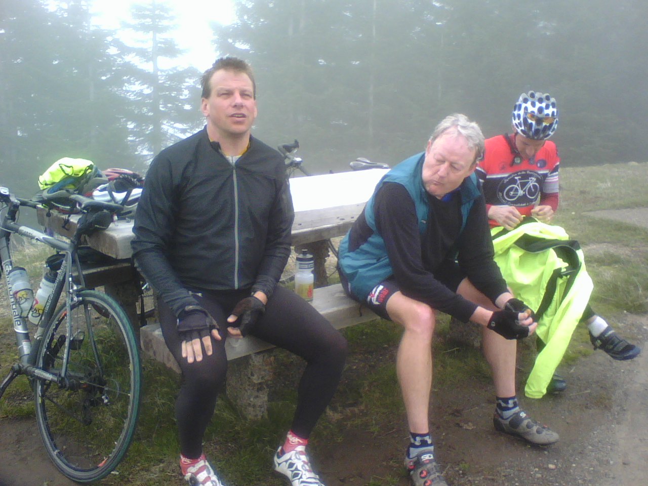
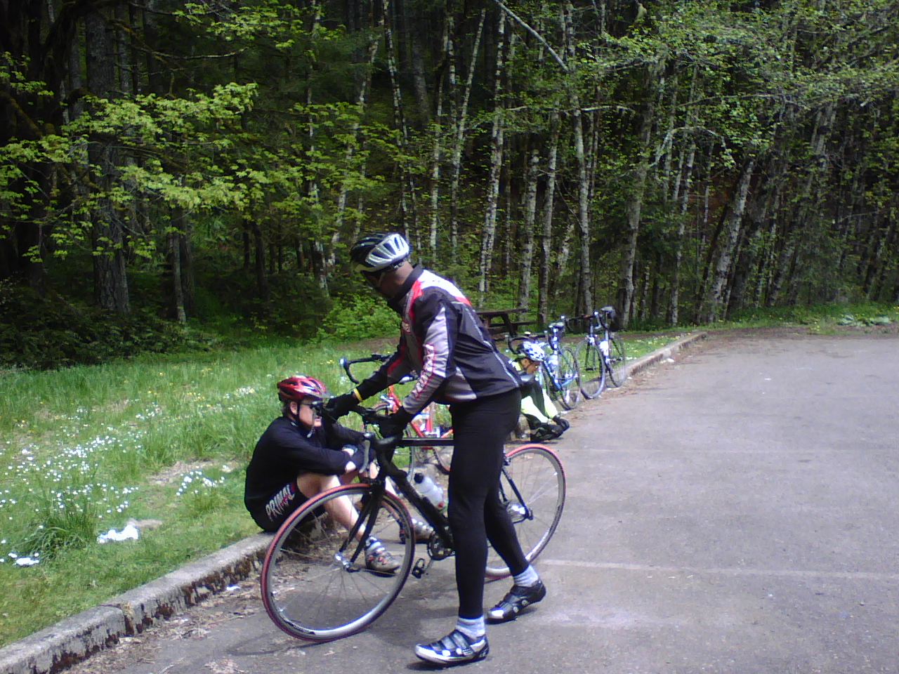
Notes and maps on a group ride, possibly of interest to those who went along (Paul, Marty, Ian, James, Mike, and me) or other cyclists looking for fun and challenging rides in Oregon.
April 28, 2007 (Sunday)
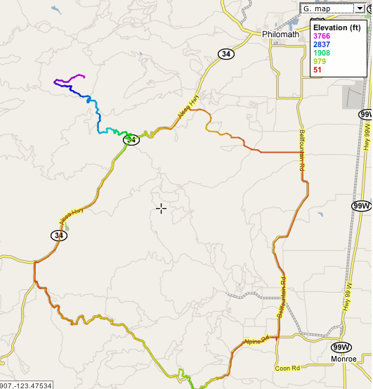
Route Overview
- Start from the park in Alpine, Oregon for the 66 mile version. (Mike started in Eugene to make it a 110 mile ride).
- Turn north on Bellfountain Rd and continue to Decker Rd; left (West) on Decker Rd to Alsea Highway (Highway 34).
- Left (West/South) on Alsea Highway to the turnoff to Mary's Peak on the right.
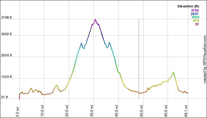
- Up Mary's Peak road. Last section may be closed to car traffic depending on season (opens in April or May).
- Return down Mary's Peak Road to highway 34.
- Right (West) on 34/Alsea Highway to town of Alsea.
- Left (South) on Alsea-Deadwood Hwy, just a few miles.
- Left (East) on Alsea Hwy. Follow Alsea Hwy past Alsea Falls and back to Alpine.
Route Notes
Map
As kmz (open in Google Earth).
Altitude Profile